Loading Port:China Main Port
Payment Terms:TT or LC
Min Order Qty:5 Sets set
Supply Capability:200 Sets Per Day set/month
Specifications of Professional Handheld GPS for Surveying
Software | |
System configuration | Operating system: Windows CE intelligent system |
Processor: 533MHZ main frequency | |
Memory:2G high-capacity memory | |
Display:2.8 inch, color touch screen | |
Software configuration | Intelligent handheld GPS collecting software |
Support the third party software installation application | |
Support SDK the second software development | |
GPS characteristics | High sensitive GPS positioning |
Support SBAS (WASS/EGNOS/MSAS) | |
Initial positioning time:30 seconds | |
Positioning accuracy | Single point positioning:5M |
SBAS:3M | |
Function | |
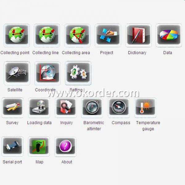
Application function | GIS function |
Map(zmp format) | |
Compass | |
Barometric altimeter | |
Temperature gauge | |
Data communication | USB interface |
Micro SD card slot | |
Bluetooth | |
Physical | |
Power source | Two AA batteries |
Over 10 hours' continuous work | |
Physical characteristics | Weigh:150g(without battery) |
Size:127×66 ×37mm | |
Working temperature: -30℃~ +70℃ | |
Storage temperature: -40℃~ +80℃ | |
Dustproof and waterproof: Ip67 | |
Shock: anti 1.5m free fall | |
Operation Interface of Professional Handheld GPS for Surveying
Application Area of Professional Handheld GPS for Surveying
1.Forest 2.Navigation
3.Electric power 4.Water conservancy
5.Land resources 6.Municipal administration

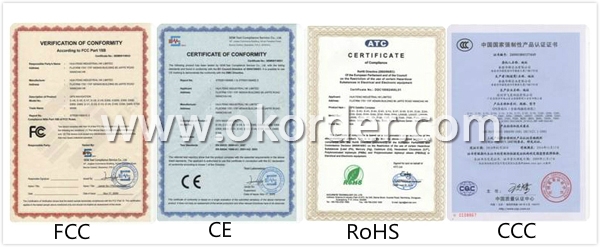
Certificates of Qcool Professional Handheld GPS for Surveying
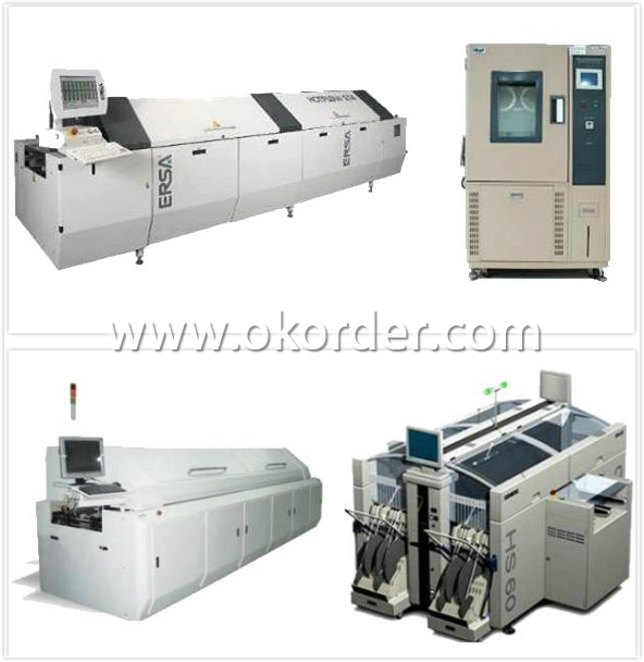
Workshop of Professional Handheld GPS for Surveying

Testing Equipments of Professional Handheld GPS for Surveying
Shipment of Professional Handheld GPS for Surveying

